 Menu
Menu
- Projects
- Transmission Line Project

Projects
Transmission Line Project
Client
Lafayette Utility Systems (LUS)
Scope
Topographic Survey, Utility Identification, Boundary Survey, Planning and Zoning, Servitude Platting, Wetland Delineation, CORPS Permit, Construction Staking, Construction Support
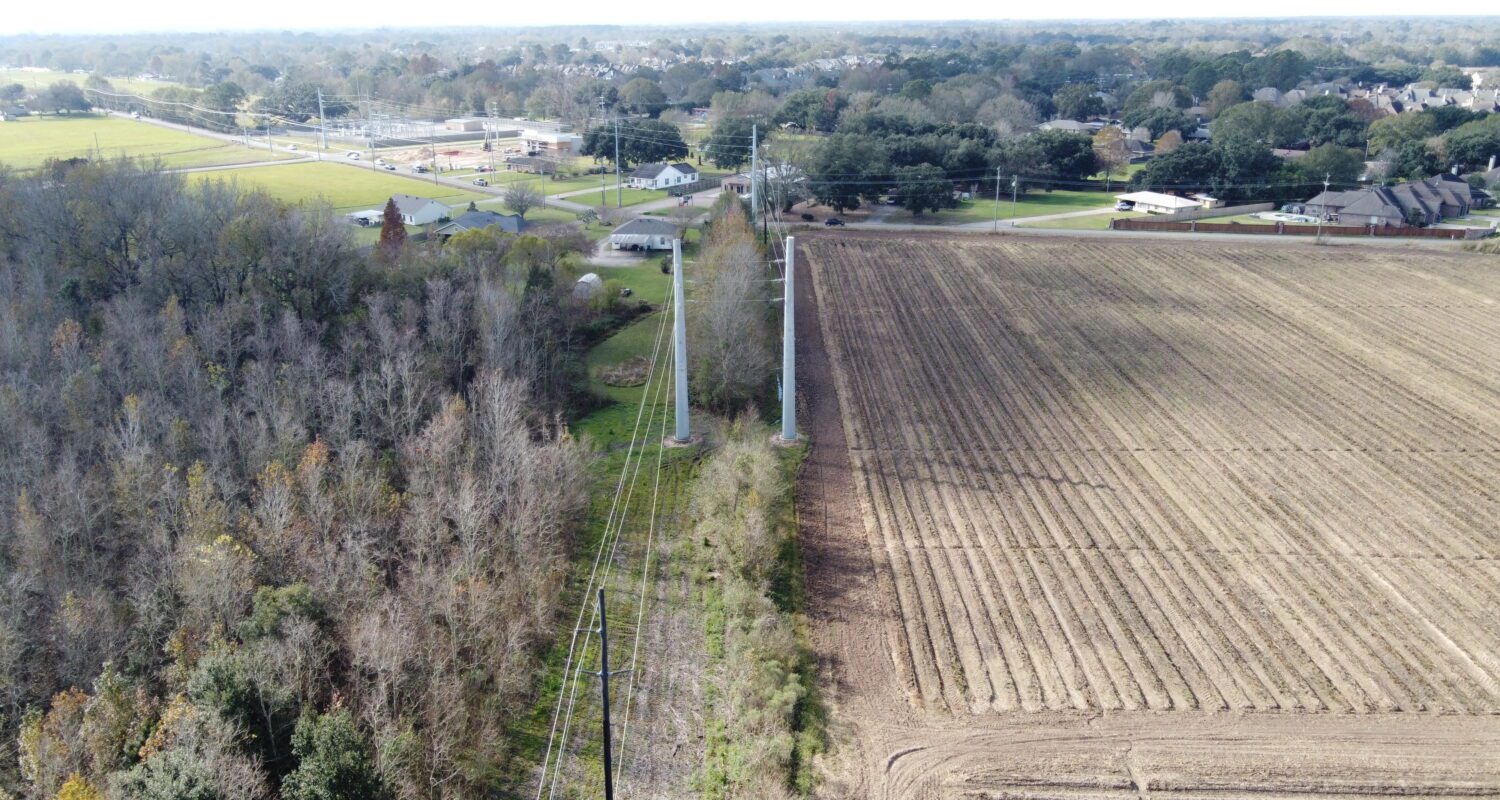
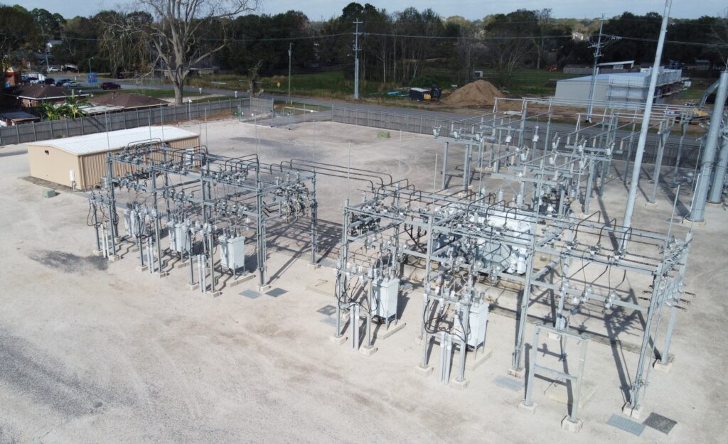
Over the years Lafayette Utilities Systems (LUS) has worked on expanding their infrastructure to better service their customers. This expansion included the addition of 2.5 miles of transmission line and the construction of a substation at the corner of Bonin Road and La Neuville Road. LUS contracted Fenstermaker to provide surveying and environmental services in support of this project.

Once the transmission line route was selected, Fenstermaker conducted a topographic and utility survey to identify conflicts such as underground and above ground utilities, buildings, large overhanging trees, fences, and other potential areas of concern along the route. A full boundary survey was performed on the tracts along the project route and the plats necessary for the acquisition of permanent servitudes were created. Additionally, Fenstermaker’s environmental team conducted a wetland delineation and completed the CORPS permit for the project.
Before moving into the construction phase of the project, Fenstermaker assisted LUS in determining the location of the wooden poles along the project route and the self-supporting poles that were strategically placed near intersections and at key locations. While construction activities were being conducted Fenstermaker remained on call to assist with quality control surveys as needed.

Related Capabilities
- Markets
- Services
Your company’s success is our business
Discover our industry-leading products and service that our customers have been trusting in for decades. Whatever your need, we’re here.