 Menu
Menu
- Projects
- Rockefeller Wildlife Refuge – Hurricane Rita Surveys
Projects
Rockefeller Wildlife Refuge – Hurricane Rita Surveys

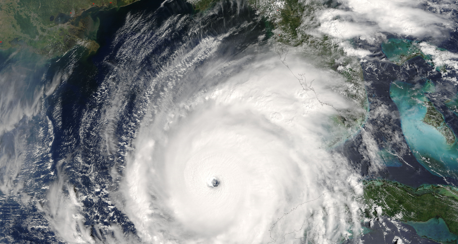
Hurricane Rita made landfall near the Louisiana-Texas border in September of 2005. The category 3 hurricane and it’s 120 mile per hour winds caused extensive flooding, erosion and significant wind damage.
The storm produced a title surge of up to 8 feet in New Orleans causing levees that had already been battered by Hurricane Katrina to be breached yet again. After the storm, the Federal Emergency Management Agency (FEMA) initiated a project to obtain high resolution maps for the effected coastal parishes in Louisiana. The data was collected to see the extent of the hurricane’s damage and compare to data collected in a digital elevation model (DEM) that pre-dated Hurricane Rita. 
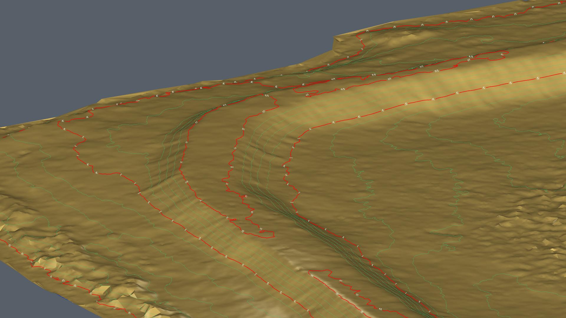
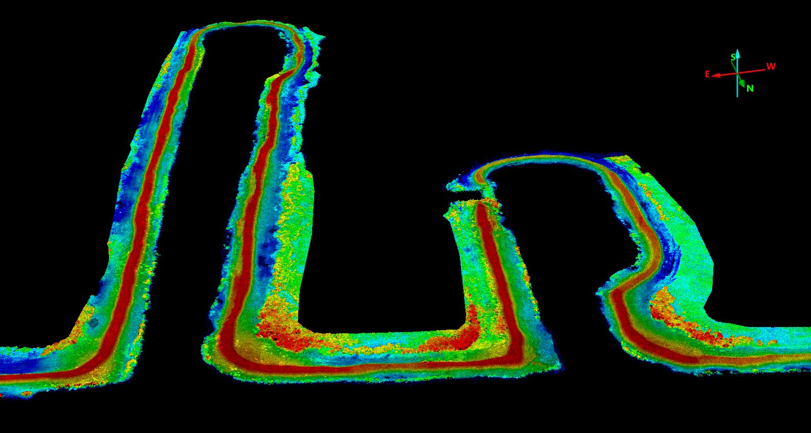
In 2023, Fenstermaker was contacted by Rockefeller Wildlife Refuge Manager, Phillip Trosclair to provide LiDAR and conventional RTK surveys on approximately 21 miles of those levees previously breached. Fenstermaker mobilized both a UAV crew to collect drone-based LiDAR data and a traditional survey crew to gather ground truthing information. Topographic cross sections were taken approximately every 1,000’ along the levees/berms. The collected information was processed to the client’s required specifications and would be used to compare volumetric estimates from previous years for the levees that were currently under construction.

Related Capabilities
- Markets
- Services
Your company’s success is our business
Discover our industry-leading products and service that our customers have been trusting in for decades. Whatever your need, we’re here.