 Menu
Menu
- Projects
- LCRA Powerline Project
Projects
LCRA Powerline Project

Client
Lower Colorado River Authority (LCRA)
Division
Survey & Mapping
Scope
Boundary Surveys, Topographic Surveys, Geographical Information System (GIS) Services
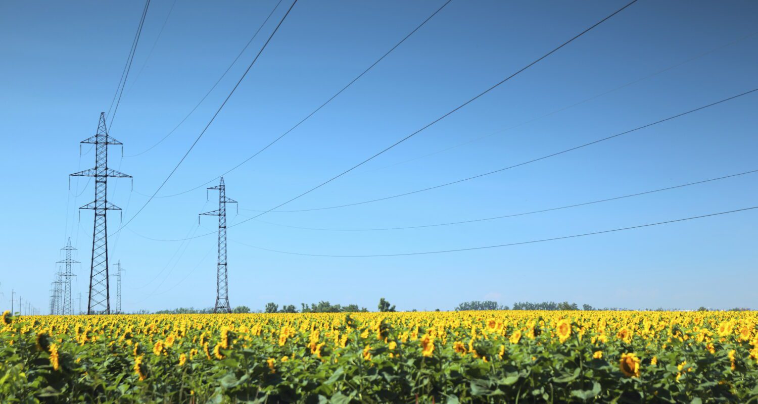
 The Lower Colorado River Authority (LCRA) wanted to construct a new, bundled 345 kV double circuit transmission line approximately 85 miles in length. LCRA hired Fenstermaker to complete preliminary work and an assessment of the project before construction.
The project required the production of a parcel map showing all parcels crossed by the transmission line and the immediately adjoining parcels. Fenstermaker amended the map to depict boundary corners and monuments located from field observations. Easement plats and field note descriptions were needed for each of the approximately 342 parcels that would be crossed by the transmission line or affected by the transmission line easement. Fenstermaker described the easement boundaries by metes and bounds.
To complete the project, Fenstermaker assigned two fully staffed, three-person survey crews to complete boundary related work. Our surveyors were responsible for developing an organized filing system of deeds, maps, and other survey related information. Fenstermaker was also responsible for the back-up of all digital data (acad dwgs, field notes, data collection files, etc.) and disaster recovery from a major computer malfunction or hard drive failure.
A summary of the services Fenstermaker provided in the PowerLine project is listed below:
- Boundary Surveys
- Topographic Surveys
- Hydrographic Surveys
- Geodetic and Aerial Surveys
- Engineering Design Surveys
- Underground Utility Location
- Land Title Research
- Geographical Information System (GIS) Services
- LIDAR Support
- General Mapping
Cartographic Production
Related Capabilities
- Markets
- Services
Your company’s success is our business
Discover our industry-leading products and service that our customers have been trusting in for decades. Whatever your need, we’re here.