 Menu
Menu
- Projects
- Outfall Canals Topographic & Unmanned Bathymetric Survey
Projects
Outfall Canals Topographic & Unmanned Bathymetric Survey

Client
Flood Protection Authority
Division
Advanced Technologies
Scope
Topographic Survey, Bathymetric Survey, LiDAR Survey, Multibeam Survey
Completion
2021
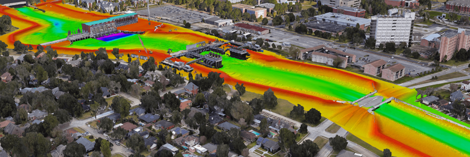
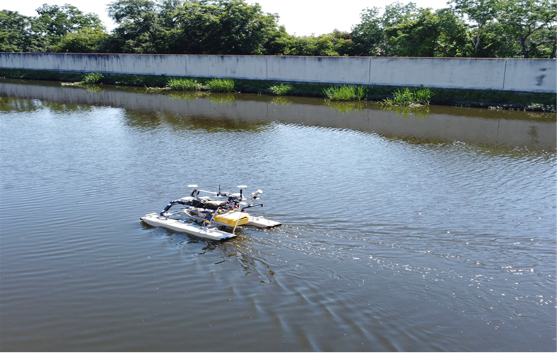
The New Orleans Outfall Canals and the Hurricane Storm Damage Risk Reduction System (HSDRRS) is one of the strongest, largest, most technically advanced coastal flood protection systems in the world. It significantly diminishes the risk of flooding for over 1 million residents in the New Orleans Metropolitan area. In June of 2020, the Flood Protection Authority (FPA) initiated a pilot project focused on evaluating new methods of data collection that could be used for surveying the New Orleans Outfall Canals while focusing on safety, repeatability, and cost-effectiveness. This challenge would require a bathymetric survey method that could navigate the entire canal including areas with limited accessibility and navigability due to very shallow water conditions, debris and aquatic vegetation. The other challenge was to provide expert spatial analytics to produce a seamless surface elevation model of the entire canal basin. Despite these challenges, Fenstermaker provided the most innovative solution, using both Aerial Drone-based LiDAR and an Unmanned Surface Vehicle (USV) outfitted with a multi-beam sonar device to create a seamless topographic/bathymetric survey that would meet the requirements set forth by the FPA. Upon completion of the pilot project, Fenstermaker was able to validate that the methods and technology used was the most effective way to conduct the survey and as such, was awarded a contract to survey not only the remainder of the canal that the pilot project was completed on, but two other Outfall Canals within the City.

In November of 2020, Fenstermaker began an unmanned bathymetric survey along the 17th Street Canal, the Orleans Canal, and the London Canal within the City of New Orleans which would serve as the baseline of existing conditions for all future monitoring and analysis work conducted by the FPA. By repeating the protocols established in the baseline survey, a comparative analysis could be performed to detect significant changes within the canals such as bank line erosion and channel bottom scouring. In order to ensure that the FPA is working with accurate information, future surveys will be conducted utilizing the same methodology on a biennial basis or after name storm events.
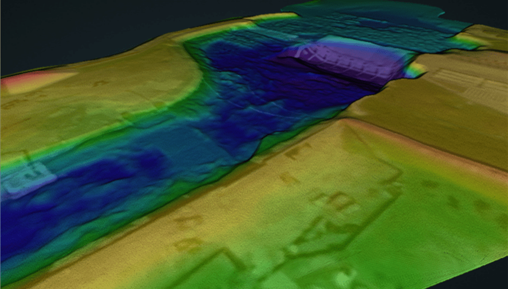
This methodology developed by Fenstermaker has proven to be a cost-effective means of immediate identification of impacts from erosion in drainage canal systems. Utilizing modern survey technology such as Multibeam and Aerial Drone based LiDAR, Fenstermaker was able to reduce the field time associated with collecting the data by approximately 40% when compared to conventional data collection methods. Additionally, since the data generated from the survey resulted in a high definition high-accuracy surface model of the canal, the surrounding levees, and flood walls, the data could be utilized for analysis and projects outside of those mentioned effectively saving the FPA money over time.

Related Capabilities
- Markets
- Services
Your company’s success is our business
Discover our industry-leading products and service that our customers have been trusting in for decades. Whatever your need, we’re here.