 Menu
Menu
- Projects
- Oakbourne Country Club LiDAR Project
Projects
Oakbourne Country Club LiDAR Project

Client
Oakbourne Country Club
Division
Survey & Mapping
Completion
2024
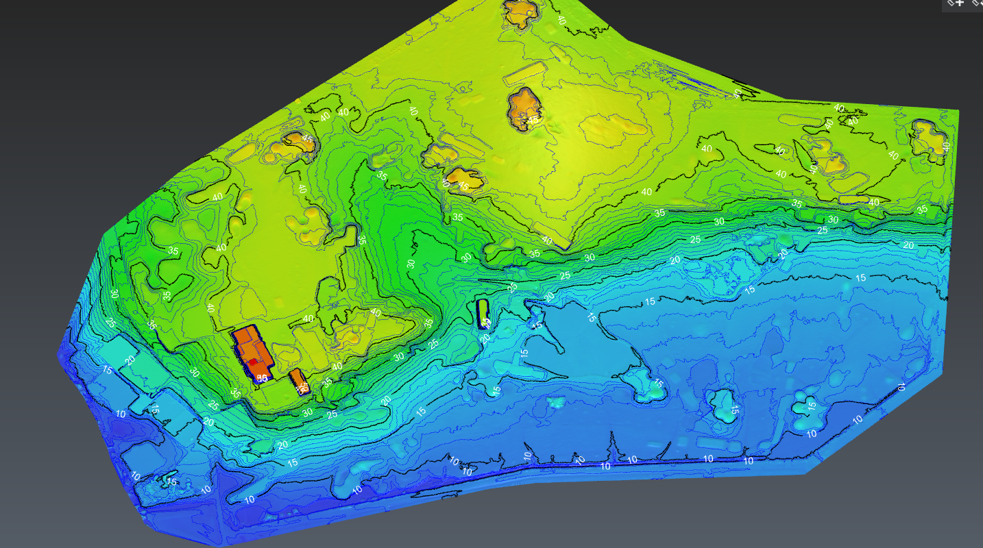
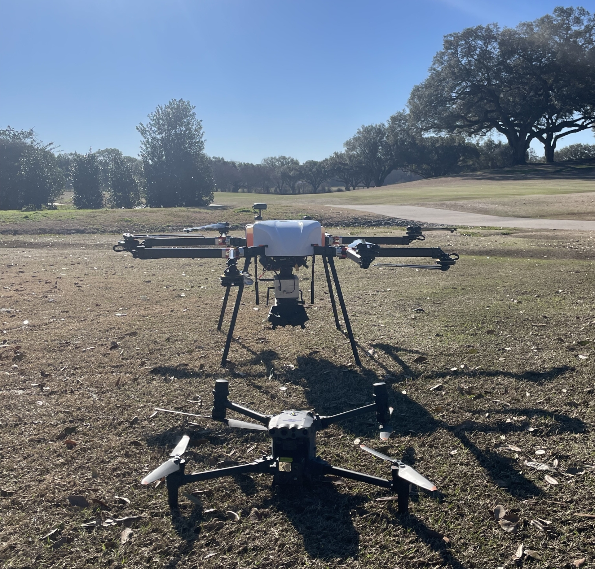
 In an initiative to enhance Oakbourne Country Club’s infrastructure and future development plans, Fenstermaker was engaged to conduct a detailed LiDAR survey of the club’s premises in Lafayette Parish. The project, necessitated by the club’s proximity to Lafayette Regional Airport, presented unique challenges. The survey team had to maintain continuous communication with air traffic control to ensure the seamless operation of their gas-powered Perimeter 8 drone, equipped with the cutting-edge Riegl MiniVUX2 LiDAR Unit. This state-of-the-art technology enabled the collection of high-resolution topographic data, crucial for the club’s architectural and construction planning. Special emphasis was placed on gathering additional data for a particular green and its nearby court parking area, underscoring the project’s attention to detail and commitment to addressing specific client needs.
Upon completing the survey, Fenstermaker’s experts embarked on a rigorous process of data analysis, producing a suite of deliverables that included raw LiDAR point cloud data, processed Digital Terrain Models (DTM)/Digital Surface Models (DSM), and a comprehensive survey report. This report not only detailed the findings but also provided strategic recommendations to inform the club’s future developments. The meticulous execution of this project reflects Fenstermaker’s dedication to employing advanced survey technology to deliver precise, actionable insights. As a result, Oakbourne Country Club now possesses an invaluable topographic blueprint of its property, setting a solid foundation for informed decision-making and visionary planning in its architectural and construction endeavors. 

Related Capabilities
- Services
Your company’s success is our business
Discover our industry-leading products and service that our customers have been trusting in for decades. Whatever your need, we’re here.