 Menu
Menu
- Projects
- Louisiana Watershed Initiative – Region 5
Projects
Louisiana Watershed Initiative – Region 5

Division
Survey & Mapping
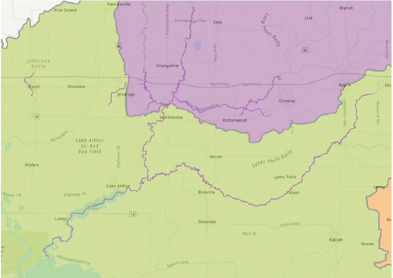
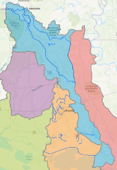
Fenstermaker was responsible for executing surveys at structure and channel locations throughout regions 4, 5, & 6 in Louisiana to support hydrologic and hydraulic modeling for the Louisiana Watershed Initiative. In Region 5, Fenstermaker worked closely with HDR Engineering, Inc. to complete a two series survey that consisted of Series I, Mermentau and Mermentau Headwaters, and Series II consisting of Bayou Teche and Vermillion HUCs.
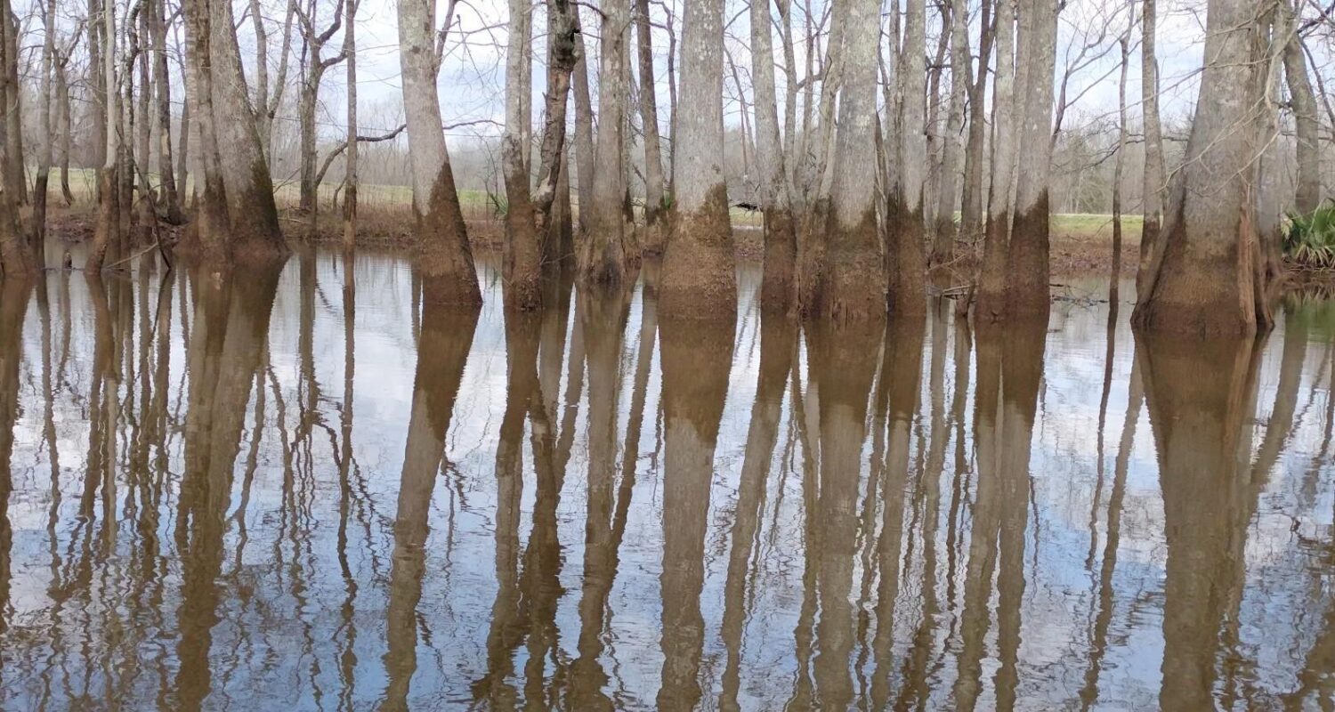
In Series I of the survey, both Mermentau and Mermentau Headwaters were located in remote and heavily wooded locations. Accessing these areas was limited, and the only viable means of reaching them was by boat. However, the recent impact of the hurricanes in the region resulted in fallen trees obstructing some of the channels, making navigation difficult or even impossible at times. The primary focus of Series I was to collect channel cross sections and/or single/multibeam data at strategically placed locations within the boundaries of each Hydrologic Unit Code (HUC). These data points were essential for capturing detailed information about the channels and waterways in those areas. 
Series II of the survey encompassed two Hydrologic Unit Codes (HUCs), Bayou Teche and Vermilion. Both areas are characterized by a mix of developed and undeveloped terrain. These HUCs consisted of areas comprising developed terrain such as cities and neighborhoods, alongside substantial portions classified as heavily wooded and undeveloped. Given the diverse nature of the terrain, encompassing developed and undeveloped areas with heavy vegetation, surveying in Series II required a flexible and adaptable approach. Field crews needed to navigate through urban environments, capturing data in cities and neighborhoods, as well as tackle the challenges posed by heavily wooded areas. In this series, the data collection also focused on obtaining channel cross-sections and/or single/multibeam data at strategically selected locations within these HUCs. The purpose was to gather detailed information about the channels and waterways in these areas.
During the survey data collection period from April 2022 to March 2023, our comprehensive survey covered a wide territory ranging from remote to highly developed areas. Throughout this period, we encountered several variables that had a significant impact on our field efforts, presenting us with complex challenges. One prominent variable was the heavy rainfall experienced in Region 5. As a result, the water levels in the waterways within our scope of work became elevated. To adapt to this situation, we had to modify our collection methods and approach in several areas. This included utilizing small crafts that were otherwise unnecessary. While this approach allowed us to access survey points within the waterways, it introduced hazards and reduced efficiency due to the additional effort required for safe maneuvering. Another challenging variable we encountered was access issues, particularly in the more rural reaches of Region 5. Dense vegetation and heavily wooded areas made it difficult to reach survey points. To access the waterways, field crews had to traverse these areas over considerable distances, which raised safety concerns due to the remote locations. Additionally, the presence of various pine species in these heavily wooded areas often caused disruptions to GPS signals, hindering data collection. 
Despite these obstacles, Fenstermaker’s field crews demonstrated resilience and determination in overcoming these challenges to ensure accurate and thorough data collection. Their commitment to finding innovative solutions and their expertise in navigating complex environments played a crucial role in successfully completing the survey.
Related Capabilities
- Markets
- Services
Your company’s success is our business
Discover our industry-leading products and service that our customers have been trusting in for decades. Whatever your need, we’re here.