 Menu
Menu
- Projects
- Louisiana Watershed Initiative (Topographic and Bathymetric Data Collection)
Projects
Louisiana Watershed Initiative (Topographic and Bathymetric Data Collection)

Client
Louisiana Department of Transportation and Development
Division
Survey & Mapping
Scope
Topographic Survey, Photogrammetry, LiDar Survey
Completion
2023
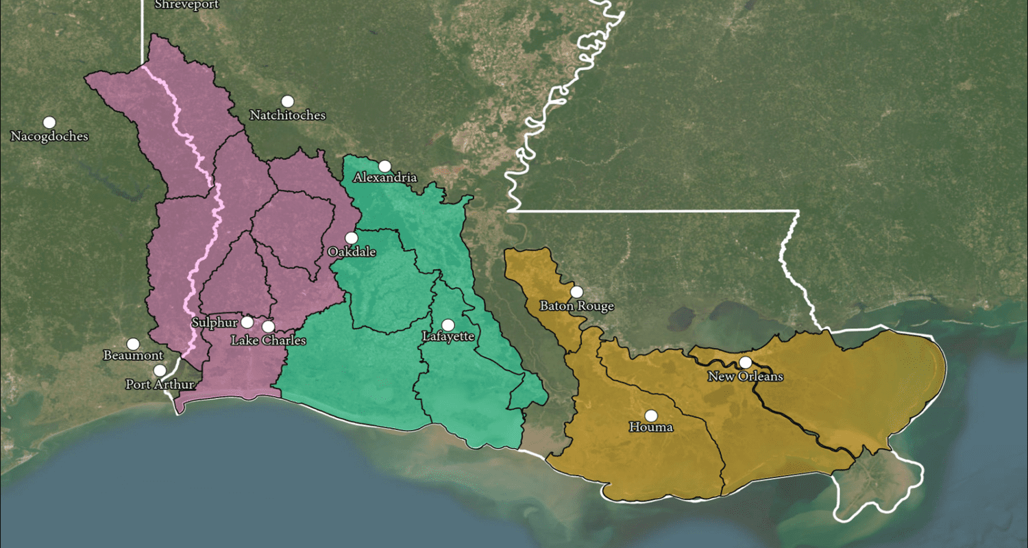
 In 2016, Louisiana was devastated by widespread flooding that revealed just how vulnerable the landscape is when it comes to hurricane and flood events. State and local leaders realized the need to act and in 2018, the Louisiana Watershed Initiative was launched. Fenstermaker is proud to be part of this flood defense effort and was responsible for executing surveys at structure and channel locations throughout regions 4, 5, & 6 in Louisiana to support hydrologic and hydraulic modeling. This effort spanned multiple parishes and waterways across watershed regions around the state, using topographic, bathymetric and lasers scanning to provide refined topography for modeling purposes.
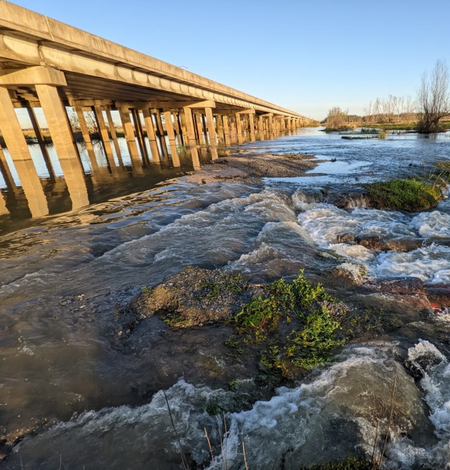
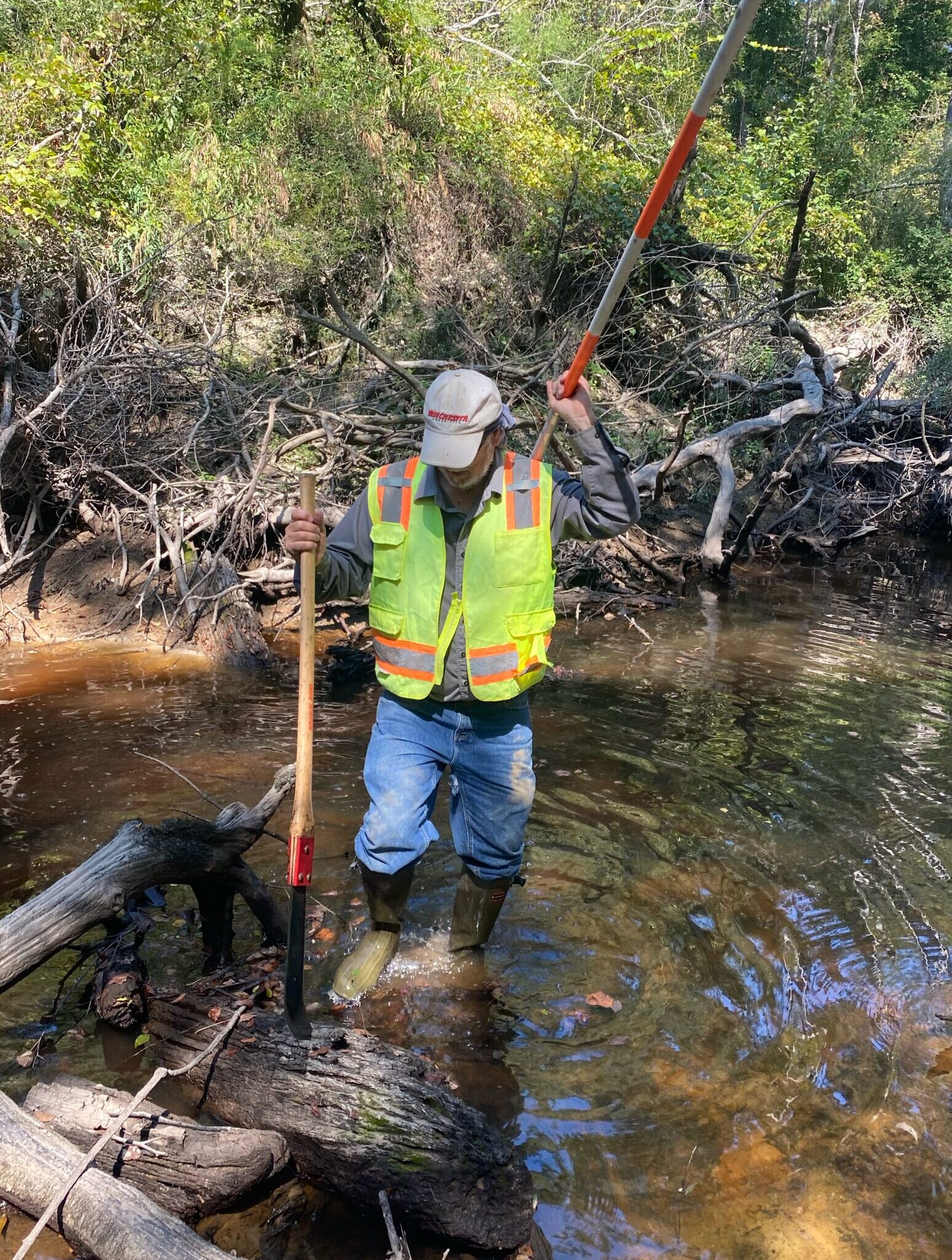
Field survey data included information from multiple features including bridges, culverts, dams, levees and coastal structures. When required, hydrographic crews collected bathymetric data utilizing a single-beam sonar, where water bottom depths exceeded the abilities of conventional methods. Structures greater than 300 feet in length or within high trafficked areas were surveyed utilizing terrestrial laser scanning and/or aerial scanning with LiDAR technology from and Unmanned Aircraft System (UAS). Survey data was collected in the North American Datum of 1983 (NAD 83) horizontal datum, Epoch 2010. The projected coordinate system used was the State Plane Coordinate System, Louisiana South or North (1702) Zone, and the vertical datum used was the North American Vertical Datum of 1988 (NAVD 88) utilizing Geoid 12B. Survey work also used the LSUC4G network and GPS instrumentation . All data was collected utilizing DOTD survey feature codes.

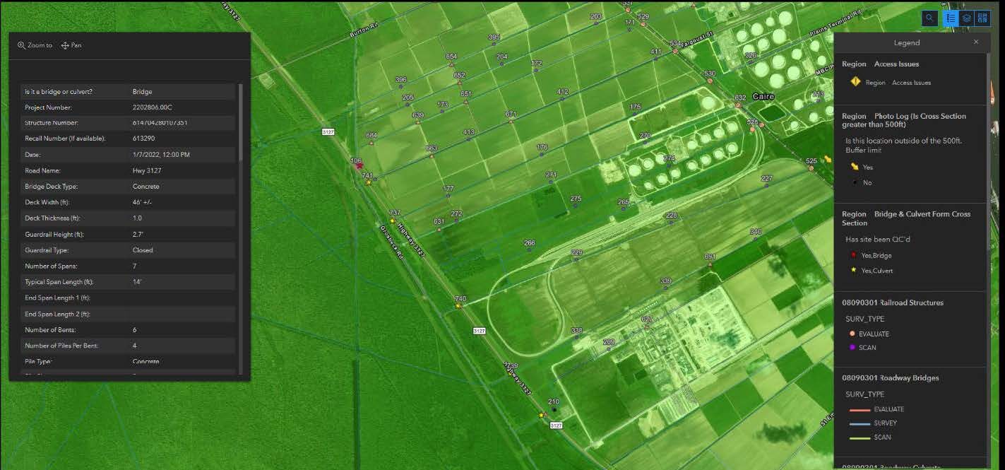
Field crews utilized Survey 123 software to create a live data experience as data was being sent into the office personnel from the field for processing. The ArcGIS Survey123 application was linked to Fenstermaker’s database and utilized by field crews through a mobile phone or tablet to access features including assigned/completed survey points, bridge and culvert evaluation forms, image uploading, field hazard alerts (e.g., beaver dams, obstructions, etc.), and access issues. The engineers were able to view the progress and forms, as well as approve cross section relocations through the application’s dashboard remotely for efficiency.

Related Capabilities
- Markets
- Services
Your company’s success is our business
Discover our industry-leading products and service that our customers have been trusting in for decades. Whatever your need, we’re here.