 Menu
Menu
- Projects
- False River Watershed Study
Projects
False River Watershed Study

Client
Louisiana Department of Natural Resources
Division
Engineering, Water Resources
Scope
Watershed Study, Hydraulic Modeling
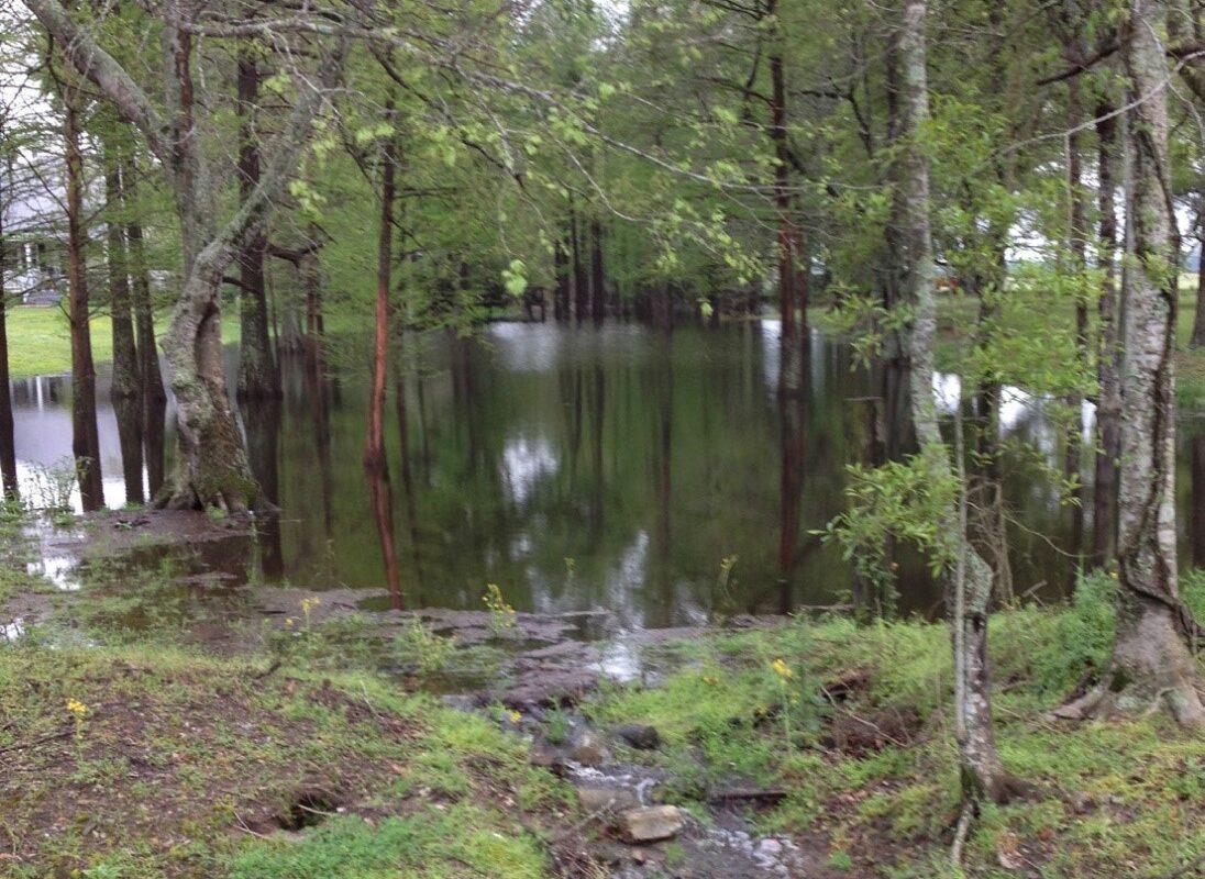
 The False River Watershed Study was prepared for the Louisiana Department of Natural Resources. False River is a 3,000-acre oxbow lake formed from the Mississippi River in Pointe Coupee Parish with a watershed of approximately 37,000 acres. Fisheries, vegetative habitat, and overall water quality have been in decline since the 1980s. The Louisiana Department of Natural Resources, the False River Watershed Council, Chustz Surveying, and local residents teamed with the Water Resources group at Fenstermaker to collect hydrologic data, analyze the existing drainage system of the island, and recommend channel hydromodifications to reduce sediment transport into False River.
Fenstermaker collected data over a six-month period beginning October 2012, developed an existing conditions model, and evaluated several alternatives.
Related Capabilities
- Markets
- Services
Your company’s success is our business
Discover our industry-leading products and service that our customers have been trusting in for decades. Whatever your need, we’re here.