 Menu
Menu
- Projects
- Survey for Hospital Expansion
Projects
Survey for Hospital Expansion

Client
Poche' Prouet Associates, Ltd
Division
Advanced Technologies
Scope
Topographic Survey, Boundary Survey, Control Network, 3D Laser Scanning, Remote Sensing, Digital Twin
Completion
2019
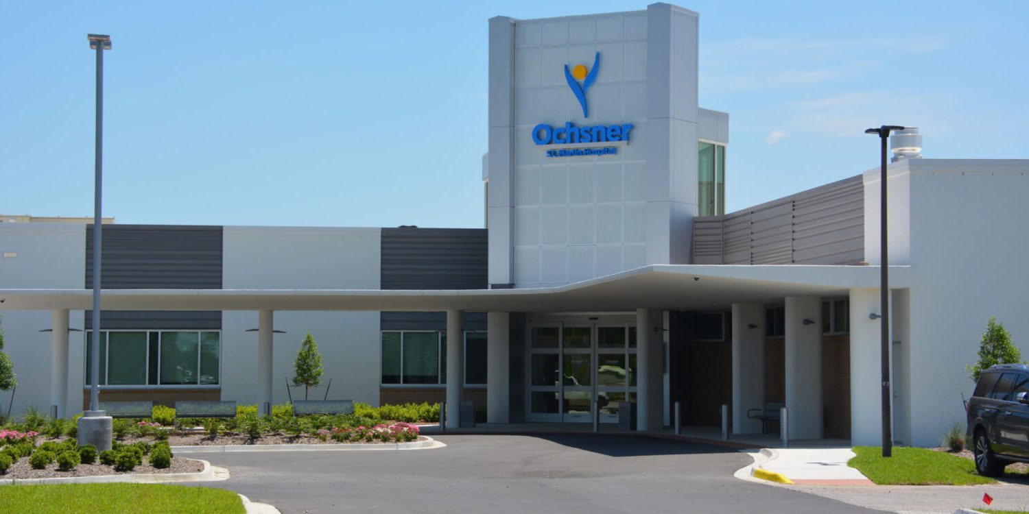
As a sub to Poche’ Prouet Associates, Ltd., Fenstermaker provided surveying services for the proposed expansion improvements to the existing St. Martin Hospital District #2 facility. The scope of services included the creation of a full topographic and boundary survey that would be used for design purposes. To accomplish this task, project control was set utilizing GPS static positions to obtain real world coordinate values referenced to the NAD83 (2011) datum for Horizontal and HAVD88 (Geold12b) for vertical positioning. Once the control was reviewed and approved, Fenstermaker began collecting information within and around the project site, including multiple 3D terrestrial Laser Scanning efforts around the hospital. The collection of topographic features consisting of but was not limited to: ground elevations, utilities, driveway/parking lot, outlying buildings, sidewalks, trees/shrubs, drainage features, and fences.
In support of utility upgrades, Fenstermaker coordinated with LAOneCall and with the locate utility companies to collect horizontal positions on all utility information marked and by careful inspection of the project site. Fenstermaker collected the majority of the data using GPS/RTK and conventional survey methods.
Due to the significate amount of detail that resided within the project site, and as an insurance policy, Fenstermaker utilized 3D terrestrial laser scanning technology to scan the project area and create a digital twin (see how digital twins is changing engineering). The high-definition data set allowed for additional data to be extracted when necessary and allowed Poche Prouet Associates, Ltd. to modify their design without needing additional field data collection.
Related Capabilities
- Markets
- Services
Your company’s success is our business
Discover our industry-leading products and service that our customers have been trusting in for decades. Whatever your need, we’re here.
