 Menu
Menu
- Projects
- 33-Mile Pipeline Expansion Project
Projects
33-Mile Pipeline Expansion Project

Division
Survey & Mapping
Scope
Preliminary, Construction, As-Built, Control, Plats, Alignment Sheets, Permit Drawings, Magnetometer
Completion
2017
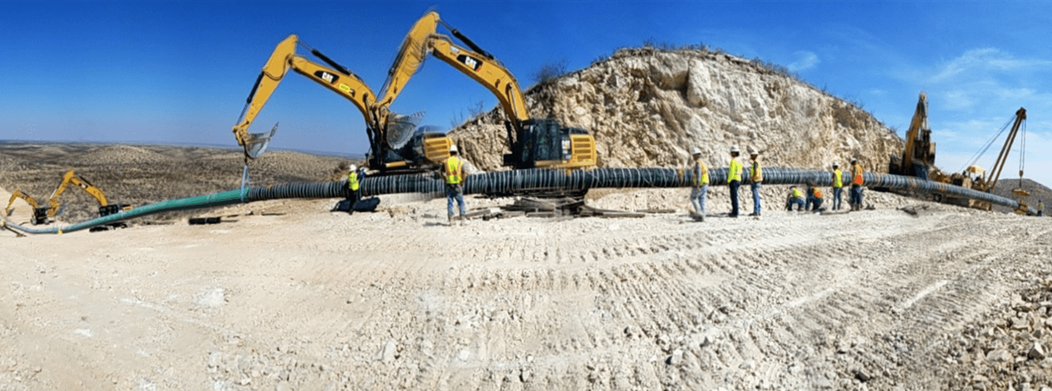
The Orla Expansion pipeline covered approximately 33 miles and started at CDP Site 1 in Reeves County Texas, crossed Culberson county and terminated at a tie-in point in Eddy county, New Mexico. The pipeline system is intended to support the growing NGL-rich natural gas production in the Delaware Basin of West Texas and southeastern New Mexico.
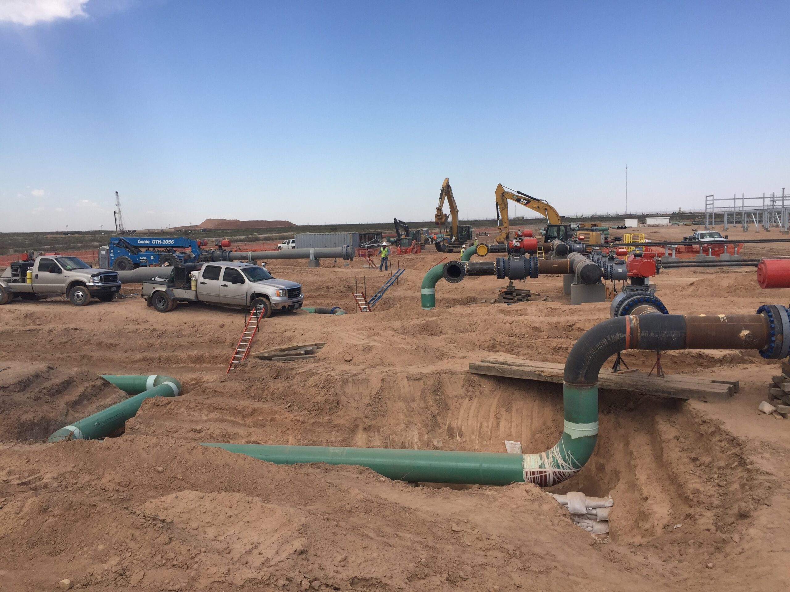
 Fenstermaker collected all field information including but not limited to elevations, access roads, hazards, underground utilities, and property boundary information. This field information was used to create all required acquisition, permitting and design documentation for the project. When the project moved into construction, Fenstermaker remobilized to the project site and staked the pipeline centerline and workspaces for the construction contractor. As construction activities progressed, detailed information such as geographic coordinates of all pipeline segments, welds, valves, sleeves, vents, and HDD start and end points were collected as a part of the survey efforts. All data was compiled and incorporated into as-built alignment sheets utilizing Skyline software. These as-built alignment sheets will serve as the client’s record for any future upgrades, modifications, tie-ins, and other maintenance activities.
Related Capabilities
- Markets
- Services
Your company’s success is our business
Discover our industry-leading products and service that our customers have been trusting in for decades. Whatever your need, we’re here.