About the Author
Andrew Titcomb is a Director in Advanced Technologies for Fenstermaker. He is responsible for business… (Read More)
 Menu
Menu

By Andrew Titcomb, RPLS – November 3, 2021

Andrew Titcomb is a Director in Advanced Technologies for Fenstermaker. He is responsible for business… (Read More)
Historically, surveying and mapping have been highly involved, labor intensive processes. Conventional means of data collection for surveys done over large areas using range poles, theodolites, and later total stations and GPS units, could be very time-consuming. Emerging remote sensing technologies have revolutionized the industry. Light Detection and Ranging (LiDAR), is a remote sensing technology that can now be packaged into small units. This allows for LiDAR systems that are very mobile and easy to mount on any number of vehicles or platforms. Let’s look at what exactly LiDAR is, how it is being used, and how Fenstermaker can apply our LiDAR technology to make your project a success.
To put it very succinctly, LiDAR is a remote sensing technology. It works on the principle of using light emissions to contact targeted site features, and then returning the signal to the lens and sensors. Once the light signal is returned, distance is then measured by the system. The LiDAR unit maintains positional and altitudinal awareness via GPS, and the inertial measurement unit (IMU) tracks all pitch, yaw, and direction.
These inputs provide corrections to the LiDAR unit in relation to site features. Because the unit can track all of these movement variables, we are able to mount LiDAR onto an ATV or UTV, an unmanned aerial vehicle (UAV, or “drone”), a manned helicopter or airplane, and virtually any other platform.
As previously stated, traditional topographic surveying can be a laborious process requiring a lot of manpower. Conversely, LiDAR allows us to map vast areas—even entire cities—with only a handful of personnel.
One of the most important characteristics of surveying with LiDAR is the incredible accuracy that the system maintains when properly deployed. The routine measure of accuracy in a LiDAR survey is plus-or-minus two centimeters (assessed in comparison to surveyed ground control points or GCPs). While this degree of accuracy is not uncommon in more traditional forms of survey work, it is radical in the sense that such high quality data is routinely achieved via LiDAR while leveraging far fewer resources. Factoring in mobility, we can appreciate the time-saving benefits of LiDAR as well.
This brings us to a valid question: just how much data is being collected? It is something to be hyper fast and accurate, but is the LiDAR mapping process thorough? In short, yes, it is very thorough. Our LiDAR unit can capture 200,000 points per second at a 330-meter range which equates to just about 100,000,000 data points for a ten-acre parcel of land!
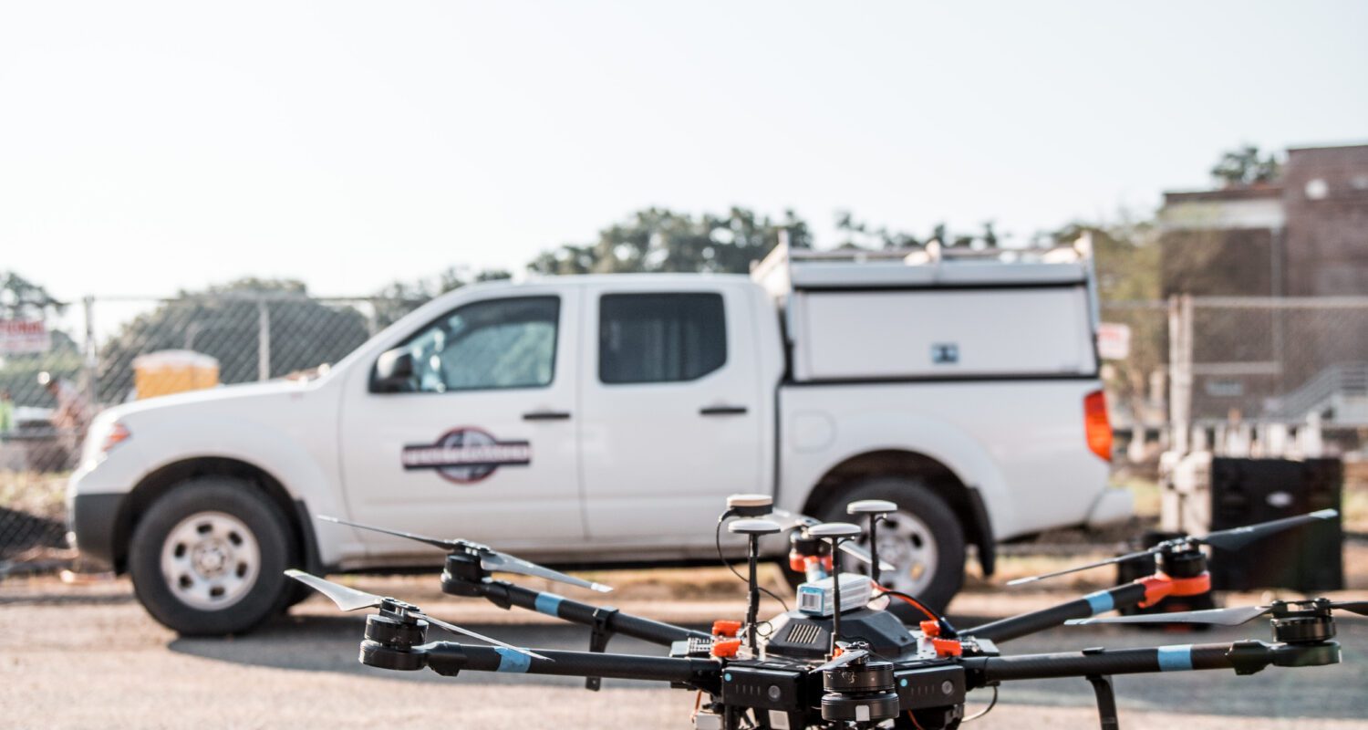
Fenstermaker uses the Snoopy miniVUX2 system. This LiDAR unit is outstanding in its capacity to cover large areas presented for aerial survey. In a single flight, the miniVUX2 can cover up to 100 acres, with 50-100 data points collected per square meter.
The miniVUX2 allows us to do better work faster because of it its tremendous versatility. The miniVUX2 is a modular system that can go from platform to platform seamlessly. We’ll focus the remainder of this article on our aerial application via Unmanned Aerial Systems (UAS).
An Unmanned Aerial System (UAS), although not a one-size-fits-all solution, can certainly be described as a one-size-fits-many or most. For the majority of situations, UAS is a great solution as it can cover a significant area in a short period of time. With an average flight endurance of about 30 minutes for most systems, a LiDAR equipped UAS can survey many hundreds of acres in a single working day.
Another factor of significance when choosing to implement LiDAR solutions for your project is cost. Aerial LiDAR survey work is not new, but until recent years has been relatively expensive due to the necessity of deployment via fixed-wing aircraft or helicopter. There are some upsides to these conventional LiDAR-carrying platforms, but in many cases they are cost-prohibitive.
Of course, there are certain instances where a manned aircraft is the only practical or legal way to conduct an operation, namely in situations where the aircraft must operate beyond the line of sight of the operator. Also, if the situation calls for widespread surveying, i.e., whole cities, counties, or even states, a small UAS is not a practical solution.
All things considered, for the bulk of our work here at Fenstermaker, we find UAS to be a better option than a manned aerial asset. Besides, the footprint of a drone is far smaller than just about any other mode of transit for LiDAR surveying. We can easily transport our drone to a project site and setup takes only a few minutes. The most labor-intensive part of operations involving UAS is the ground control point (GCP) setup. Because the UAS flies a preprogrammed and automated flight path, the process is streamlined with little-to-no wasted time in the air.
Fenstermaker’s Advanced Technologies Division understands the value in time efficiency and cost effectiveness. We’re committed to providing our clients with high-quality, precision data to inform the project at hand. This is exactly why we have invested in the Snoopy miniVUX2 LiDAR unit. We are leveraging the latest equipment, surveying to our clients’ satisfaction using a variety of platforms to ensure results and exceed expectations. Whether your project calls for a ground or aerial survey, we are prepared to tailor our methods to provide what you need, when you need it.
Discover our industry-leading products and service that our customers have been trusting in for decades. Whatever your need, we’re here.