 Menu
Menu
- Projects
- Hydroelectric Dam Survey – Southeastern US
Projects
Hydroelectric Dam Survey – Southeastern US

Division
Survey & Mapping
Scope
Bathymetric Survey, Multi-Beam Survey, ROV HD Video Survey
Completion
2022
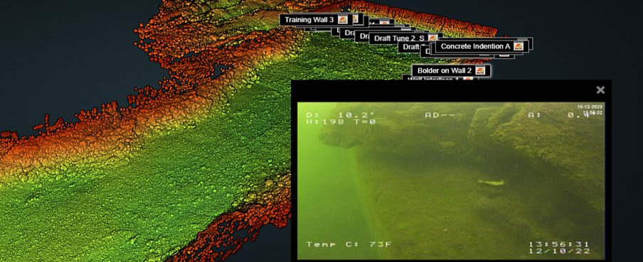
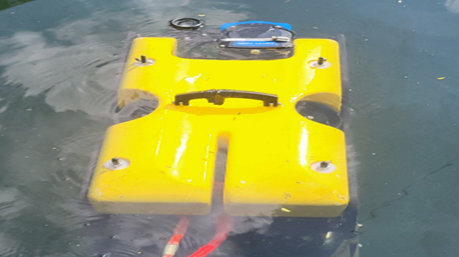
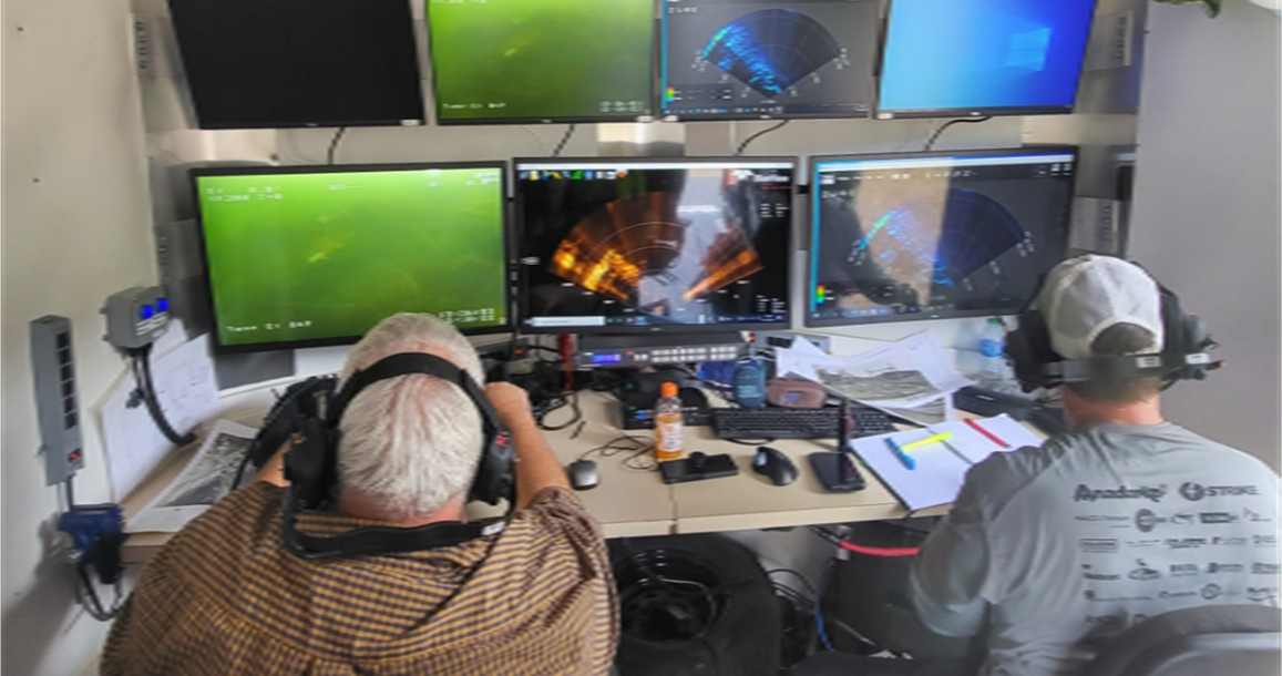
Fenstermaker used a multi-beam bathymetry sonar for the tailrace and downstream areas of this hydroelectric dam. Underwater Acoutics International supplied the boat for the survey activities. The sonar was used to produce a 3D point cloud model, to establish current conditions of the structures, and to establish a 3D digital baseline for future inspections. This data enabled the client to determine changes in the area over time. Fenstermaker also deployed a fiber-optic tethered underwater ROV (Remotely Operated Vehicle) to capture high-definition underwater photography of any scour or undermining conditions along the tailrace concrete structure, including the training walls and rip-rap embankment.

Using the Norbit iWBMSh ultra high-resolution broadband multibeam sonar system, Fenstermaker collected Bathymetry and backscatter sonar data. A benefit of the iWBMSh is its full integration with the highest-performing sensors, which makes it capable of working in the most challenging environments. Small form factor, low power draw, and tight integration allow installation on any survey platform (permanent hull mount or pole mount). Hands-free system tuning ensures that quality data is collected on the first survey. The WBMS sonars are based on a state-of-the-art analog and digital platform featuring powerful signal processing capabilities, offering roll-stabilized bathymetry and several imagery and backscatter output.
The bathymetry data was collected in line patterns along the tailrace and spillway inspection areas. The spacing of the sonar data collection lines resulted in a complete dataset of the survey area. Along the training Wall, draft tube wall, and switchyard Wall, the Norbit Sonar beams were rotated approximately 30 degrees toward the wall to provide vertical wall coverage with 3D points spacing of approximately 3 inches horizontally and 1 inch vertically.

The resulting raw data point cloud is available for viewing in the UAI MapAnalyst online mapping system. The raw Bathymetry data was then projected to the State Plane Coordinate System and processed to create a spatially accurate referenced Digital Terrain Model (DTM). The DTM is available for viewing in both 2D and 3D in UAI MapAnalyst.
Related Capabilities
- Markets
- Services
- Technologies
Your company’s success is our business
Discover our industry-leading products and service that our customers have been trusting in for decades. Whatever your need, we’re here.