 Menu
Menu
- Projects
- Port of Lake Charles GIS Mapping Interface
Projects
Port of Lake Charles GIS Mapping Interface

Client
Port of Lake Charles
Scope
GIS Mapping System
Completion
2017
C. H. Fenstermaker & Associates has been managing online mapping for the Calcasieu Parish Police Jury for over 5 years with great success, so when Port of Lake Charles officials became interested in building an online, map-centric database viewer, Fenstermaker came recommended for the project. Fenstermaker’s diverse portfolio of services includes a customizable geographic information systems (GIS) web viewer referred to as ‘MapAnalyst’ that serves various Clients in unique and interesting ways. The Port of Lake Charles communicated their interest in creating an ‘online archive’ in order to easily access project data along with property related information, and Fenstermaker’s MapAnalyst platform was up to the task.
Our MapAnalyst software was built in-house with massive data integration potential. Showcased in the Port of Lake Charles mapping application as layers within the legend, datasets can be selected or deselected to create customized data views. Fenstermaker programmers have also built custom tools for interactivity inside the web viewer including coordinate and place search capability, our live printing feature with auto-adjusting scale and high resolution output options, elevation profiling tools enabling users to measure cross section elevations in seconds, along with the capacity to create, save, share and upload annotations to the mapping interface.
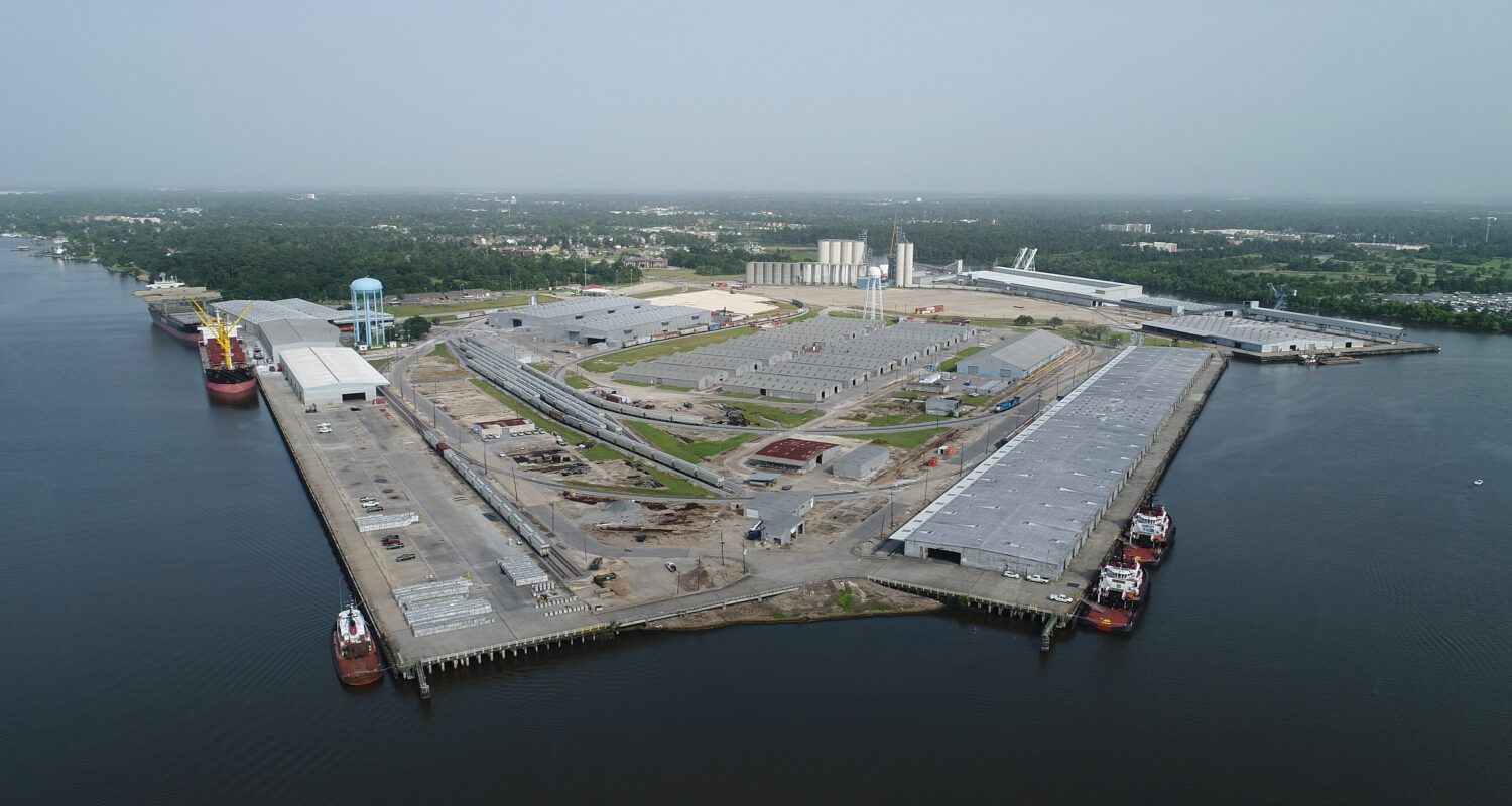
In addition to generalized datasets such as transportation infrastructure, state water bottom locations, and flood zone information, we were able to incorporate Port-specific data including facilities plans, areas of ownership and disposal areas for dredged material. As Fenstermaker performs survey work, project deliverables are incorporated into the online map. Georeferenced sonar imagery and official plat documentation can be found in the Port’s MapAnalyst site along with digital elevation models created from hydrographic surveys at the city docks and bulk terminals. The application also serves as a document browser, allowing Port officials to quickly and remotely access lease information as needed.
The Port of Lake Charles’ online mapping interface continues to expand in both data-richness and advanced functionality as time progresses and Port operations grow. We are pleased to participate in the Port’s activities in this way, and will continue to serve the Port’s needs as they evolve into the future.

Related Capabilities
- Markets
- Technologies
Your company’s success is our business
Discover our industry-leading products and service that our customers have been trusting in for decades. Whatever your need, we’re here.