 Menu
Menu
- Projects
- Island Road Marsh Creation and Nourishment (TE-117)
Projects
Island Road Marsh Creation and Nourishment (TE-117)

Client
Coastal Protection and Restoration Authority
Division
Survey & Mapping, Engineering
Scope
Bathymetric and Magnetometer Surveys, Sub-Bottom Profiles, High-Resolution Multi-Sensor Marine
Completion
2018
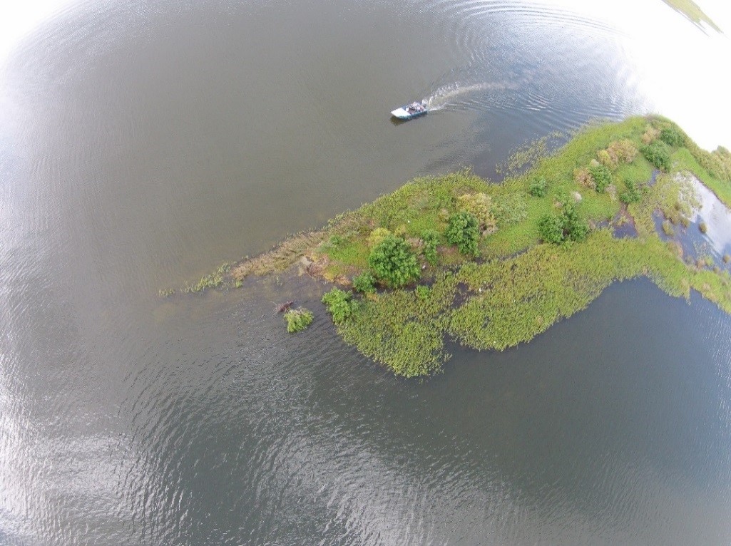
TE-117 will create and nourish approximately 365 acres and 19 acres of marsh, respectively. Marsh fill areas will be delineated and earthen containment dike (ECDs) will be constructed by the mechanical dredging of in situ material. A borrow area will be established in the permitted borrow area and fill material will be excavated by hydraulic dredging methods. Fill material will be liquefied into dredged slurry that will then be conveyed to the fill site via a sediment discharge to be laid in a permitted corridor.
Fenstermaker’s Survey Team is currently performing bathymetric, seismic, magnetometer, and side-scan sonar surveys in the potential borrow site location and in the conveyance corridor from the borrow area to the marsh creation area. Fenstermaker is also obtaining necessary geological and geophysical data for suitable dredge and equipment access corridors. Our Survey Team is also performing high resolution multi-sensor marine hydrographic/geophysical survey program in the proposed borrow area and in the conveyance corridor.
Fenstermaker is also performing a hydrodynamic study of the borrow area to ensure that the project will not cause adverse affects to the marshes surrounding the borrow area
Related Capabilities
- Markets
- Services
Your company’s success is our business
Discover our industry-leading products and service that our customers have been trusting in for decades. Whatever your need, we’re here.